Faultlines
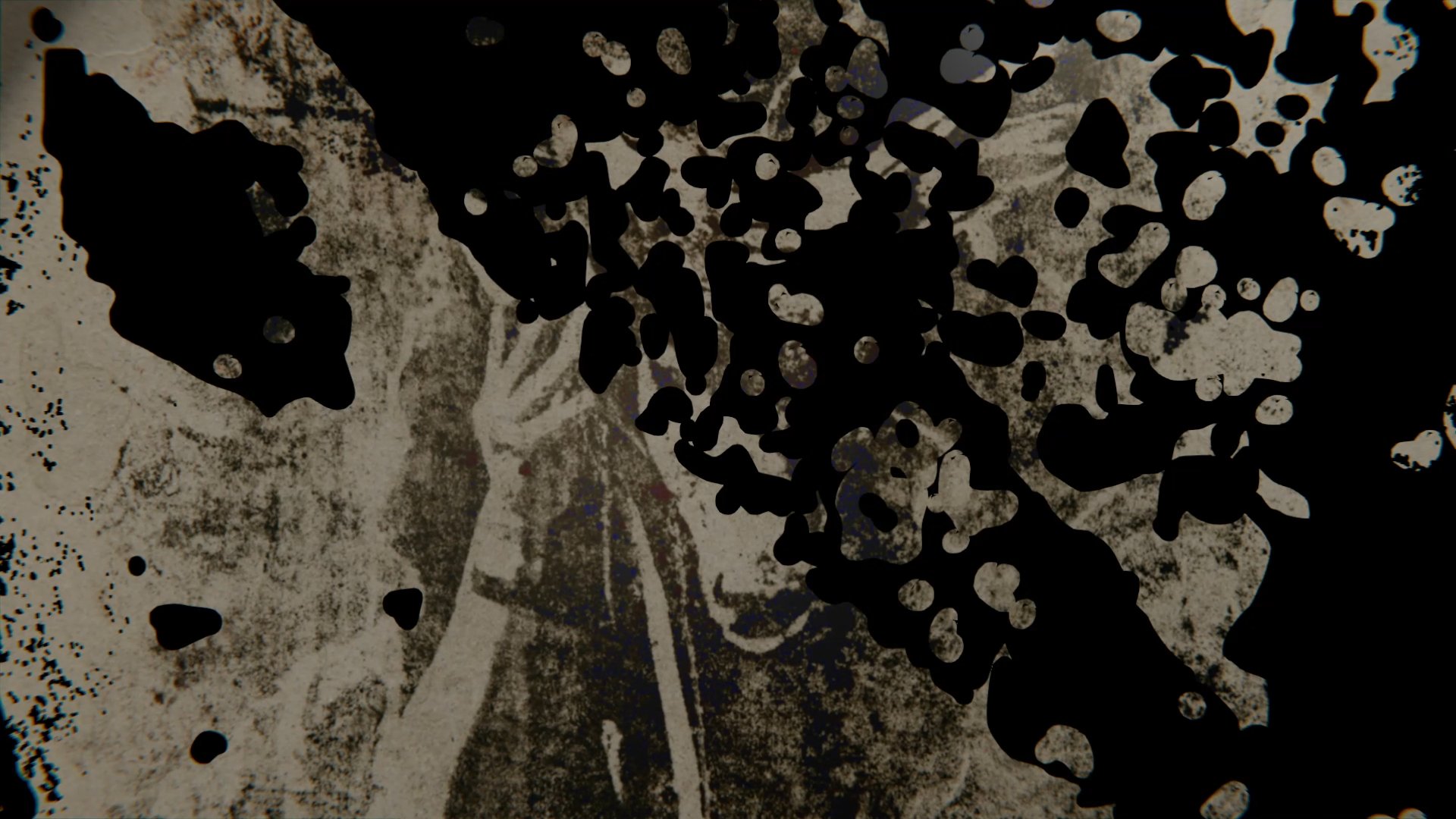
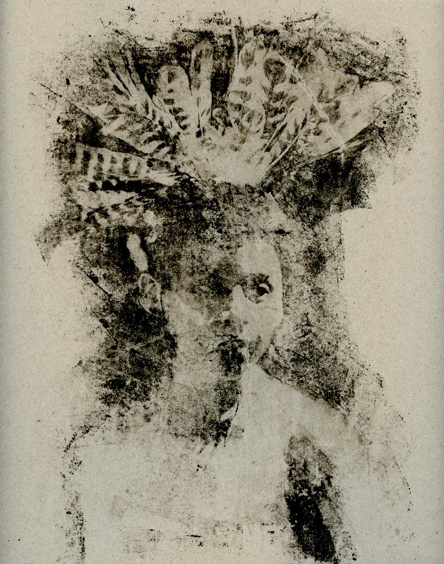
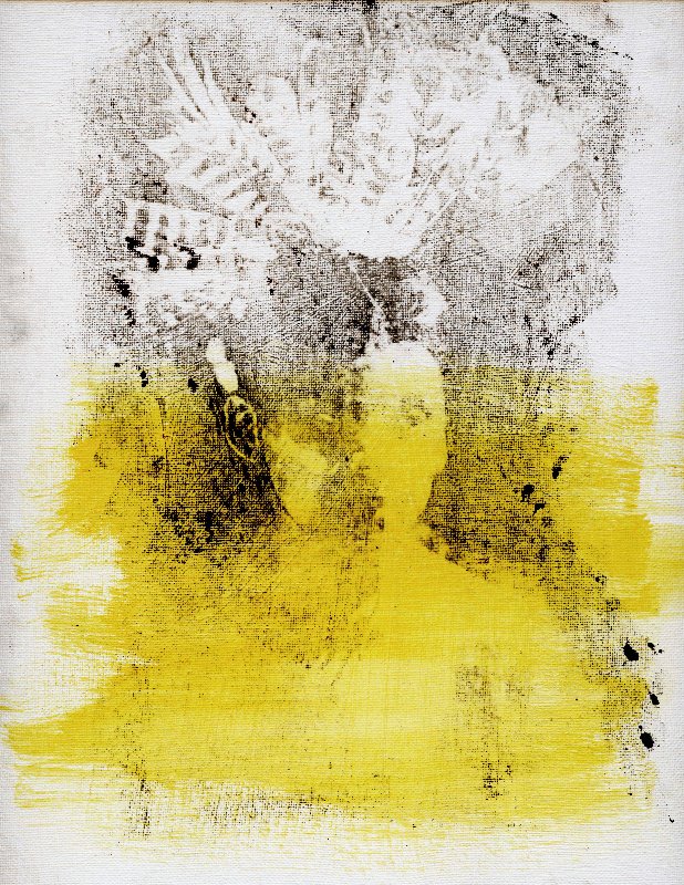
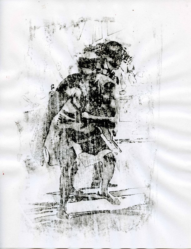
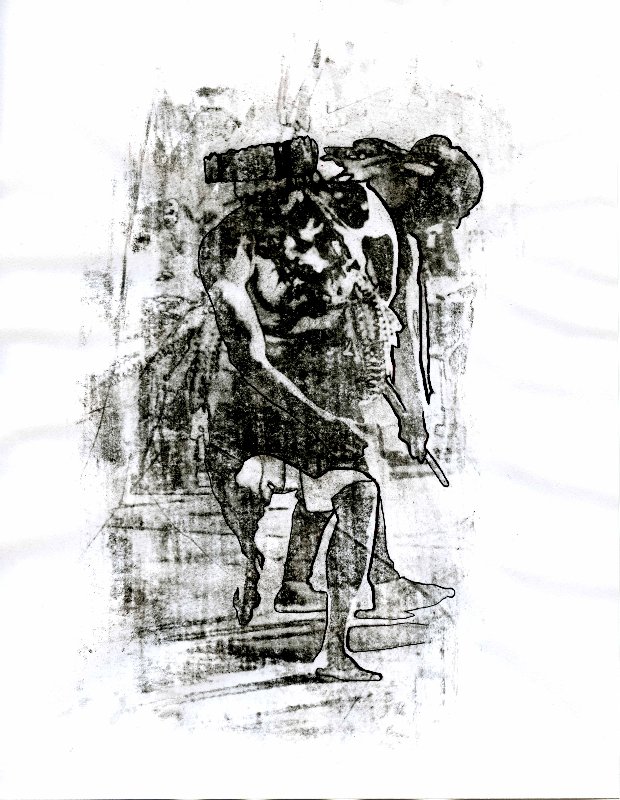
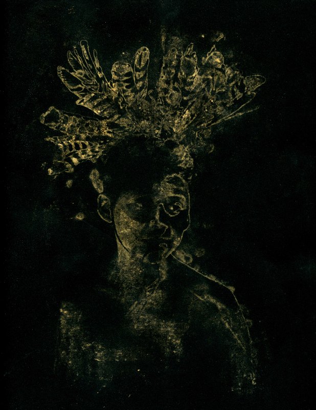
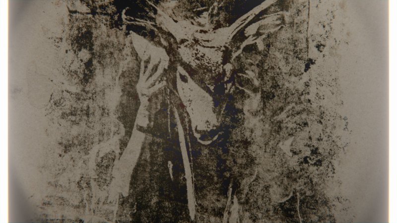
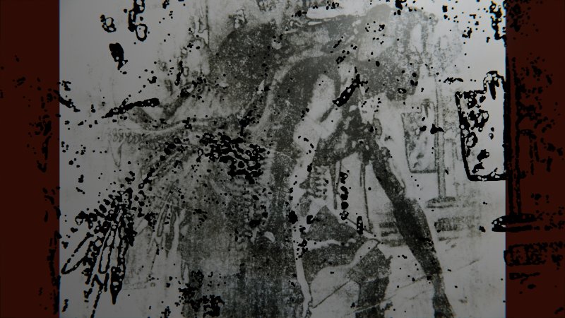
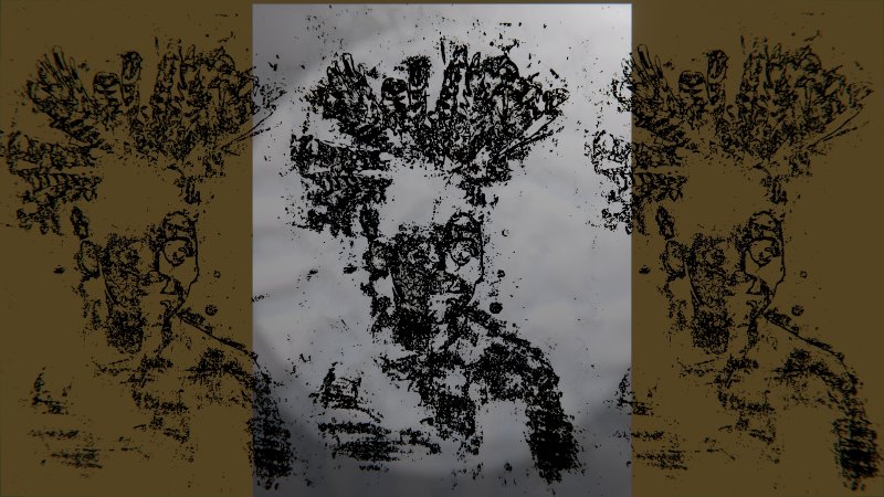
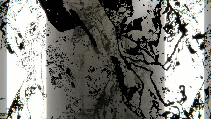
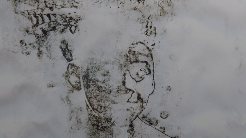
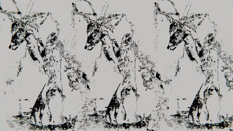
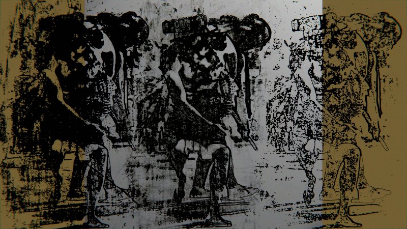
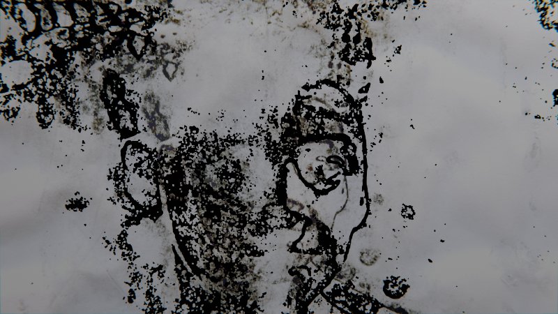
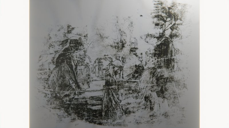
Right on the border of the San Andreas fault line, where the fault line enters the Pacific Ocean, in Daly City, California, stands a park marked by a protruding rock elevated about 18 meters (60 feet) above water, standing approximately 15 meters (49 feet) from shore. This rock names the area, including a beach, a landslide depression, and a series of cliffs. Today, many people have not heard of Mussel Rock. Even the few local visitors refer to this area as “the dump” for its infamous association with the landfill and transfer station it was in the 1970s. However, before being a landfill and before the Spanish Colonial, Mexican, and subsequently American occupations, this land was inhabited by the Ohlone people for many centuries. A village called Ompuromo stood where Mussel Rock is today. I was inspired by the beautiful place, its multilayered past, and the geographical, geological, and historical circumstances surrounding it. My project consists of multilayered steps joining photography, printmaking, digital 3D art, and animation. First, I took Ohlone ceremonial photographs as I did my research and inquiry into this indigenous tribe. Second, I made numerous prints using gum arabic printing, photo transfers on paper and canvas techniques and then scanned these prints. Finally, I layered them in a 3D software to create a multimedia animation piece. By combining and layering analog prints with new media techniques I tried to capture a feeling of layers of time and land split between centuries and people.